EOTideLines: Tidal Bathymetry from Space
➡️ Chek out our tutorial and video demo
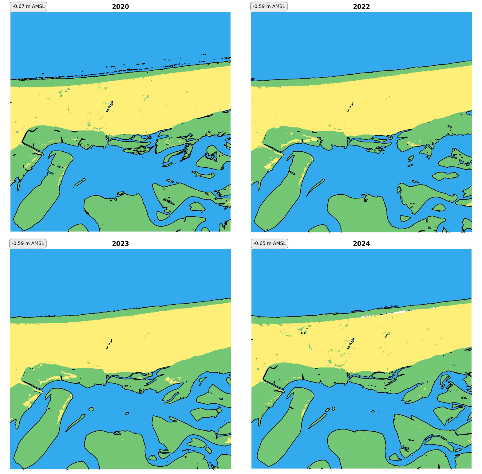
🌊 Display the yearly Low Water Lines (vector)
🌍 Display the yearly Low Tide Images (raster)
⏰ New updated data every 6 months!
Click on the tab for more info on the methods
Click on the tab to download the data


Download the Low Water Lines for the North Sea/Wadden Sea region as GeoJSON at the links below:
For more information and extension to other coastal areas and time periods, contact kilian.vos@ohb-ds.de
The dataset is also publicly available at the ESA PRR STAC Repository.
